For some reason or another the weather took a bit of a downturn. Last night there was a bit of thunder, lightning, and rain. Today was mostly overcast with light showers. Nonetheless the weather didn't quite turn down the heat on the first curry festival held at the Nishijo Tenman Park.
The format of the festival was a row of food vendors along the eastern edge of the park grounds. On the western edge were a few clothing vendors and a local craft brewery drink service stand. Centre space was for tables and chairs under tents. The permanent structure was home to the PA system and DJ.
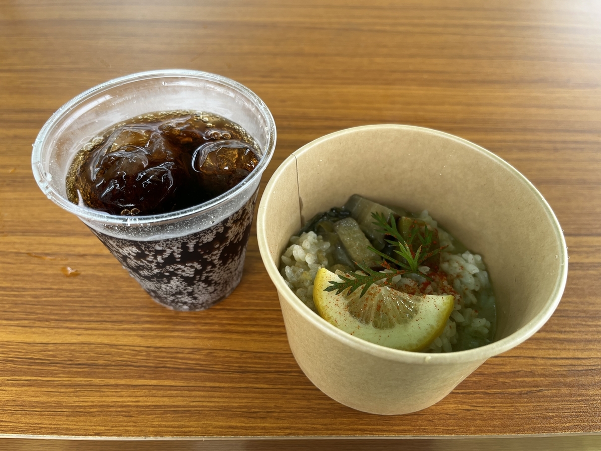
For ¥1500 pattons got three curry vouchers and one for a nonalcoholic drink. I started off with a green curry from Cafe Towa...
This curry was relatively spicy and flavourful.
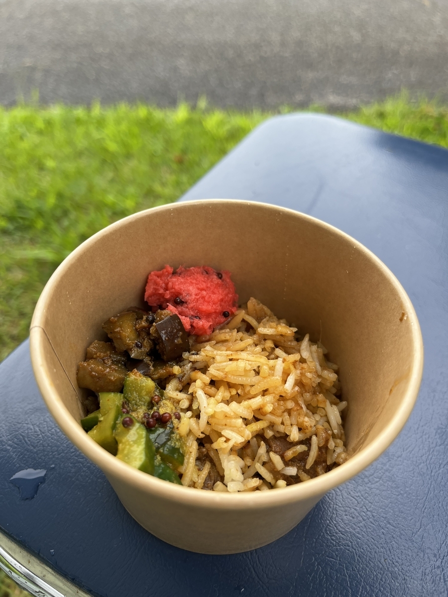
Next up was a lamb biryanni served up by spicemamire...
The nice touch here was that they used long grain rice, something of a rarity in these parts and not even served at restaurants run by Asians. I assume they didn't use saffron in their recipe. Another good point is that they didn't go for an overpowering level of spiciness
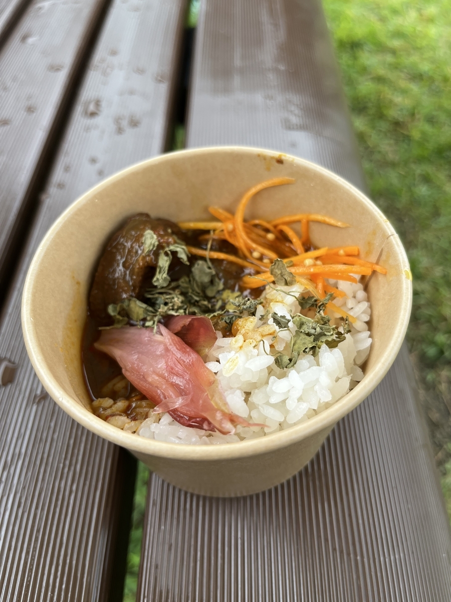
Last up was a spicy lamb curry...
Unfortunately the rice here was a touch underdone. The curry was certainly spicy though. The addition of a piece of sweet pickled myoga was a nice touch.
So the wet and cool weather combined with the low key promotional activities (essentially it was all word of mouth) kept the event a modest one. But the quality of the food was good and there was at least one adventurous curry; bitter melon butter curry. Hopefully the event was successful enough to warrant edition in the future.
The above is written as 「過誤」and translates as "mistake". The minor mistake on my part is that I hadn't opened a sealed postcard from the Yamagata tax department. It was buried under stuff I had unloaded on my dining room table.
When I opened the postcard I was greeted by this;
...which sort of translates into "mistake tax funds transfer notification"...well, at least something along that line.
The gist here is that it appears I'm entitled to a prorated refund of my prefectural vehicle tax on my previous vehicle...roughly 75% of what I paid in the spring.
Initially I had thought what I was looking at was a tax bill. Except it didn't look like one. Then there were parts about receiving funds. Lastly I noticed the section with my previous car license plate number. At which point I went through the deciphering steps above.... 😅
First off, I had thought about going out for lunch. Then I realized I didn't have enough time to make it to my destination for the last order call. So I just took a seat to contemplate my options for the afternoon; I could drive up to Yamagata to catch the 3:30 screening of the latest Patlabor EZY movie...or delay my departure and catch the 5:15 screening. Then there's the question of whether to make a pit stop to unload some rubbish at the Chiyoda recycling and transfer station in Nanyo.
Amongst other things that popped to mind were things like the question of what to post about here. I've assembled and painted a handful of kits this past month, more than I've completed the first six months of this year. Then there's the bit about a buddy who skipped town on all his debts. I did retrieve the "bottle keep" I had at his business, a bar tucked away on the second floor of a building which once housed a ramen shop I frequented a few times after my arrival in Japan. Which brought to mind the silly novelty shot glass I had given him as a souvenir from Vancouver. The glass was shaped somewhat like a woman's torso and had a red bikini painted on it. There was another shot glass I gave him after a previous trip back which was a lot more conservative than the bikini one.
I've been culling my collection of anime figurines and model kits since moving in to this house. One thing I have are a few sets of "Koppu no Fuchiko" (Ms Fuchiko of Cups) mini figures. These little figurines as met to rest on the rim of cups. I remembered this feature once the recollection about the shot glasses hit me. I could display these little figurines with the few shot glasses I've collected (!).
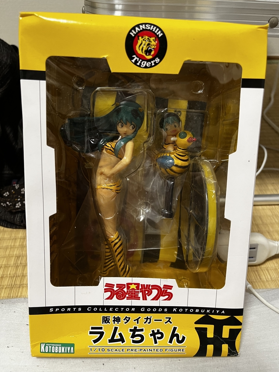
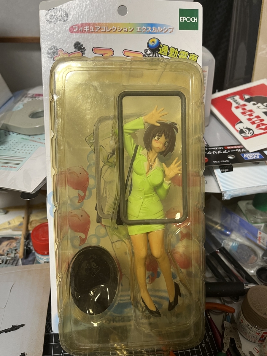
Speaking of my anime figurines collection, I've started to take some which I've had in long term storage out of their boxes and put them on display. Examples of which are the Hanshin Tigers Lum set and Takoko the OL squashed on a commuter train figure.
The damage to the packaging and discolouration hints at their age. These are a couple of the ones which I've decided to keep...for a while longer.
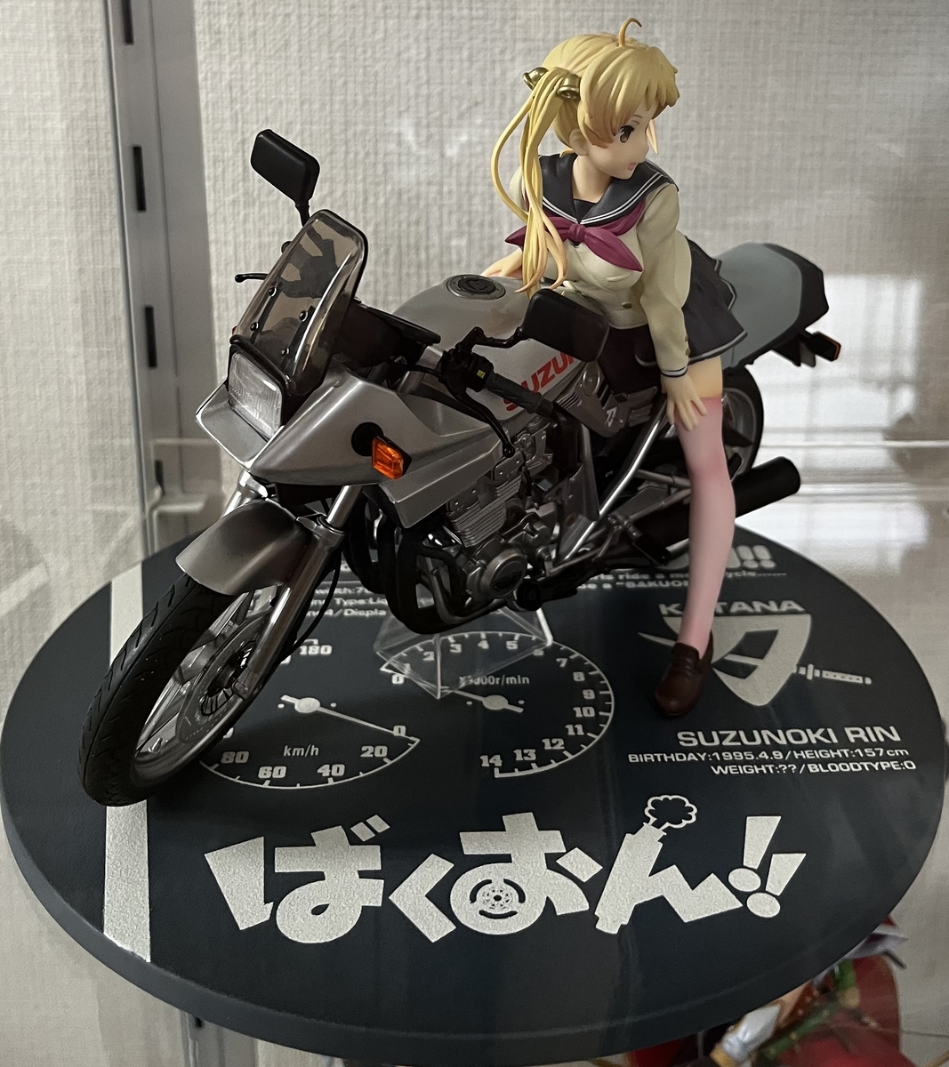
Then there's the girl on a bike set from Bakuon!, a short lived anime series which I watched one episode of. In the past I had only put the motorcycle on display. I finally relented and placed the "little" (157cm tall according to the set's stat sheet) high schooler on her mount. What struck me next was that she didn't look quite right on the bike. It looks too big and she looks too small. Dunno...never have seen a 5'2" high school student on a 400cc motorcycle in real life. 😅
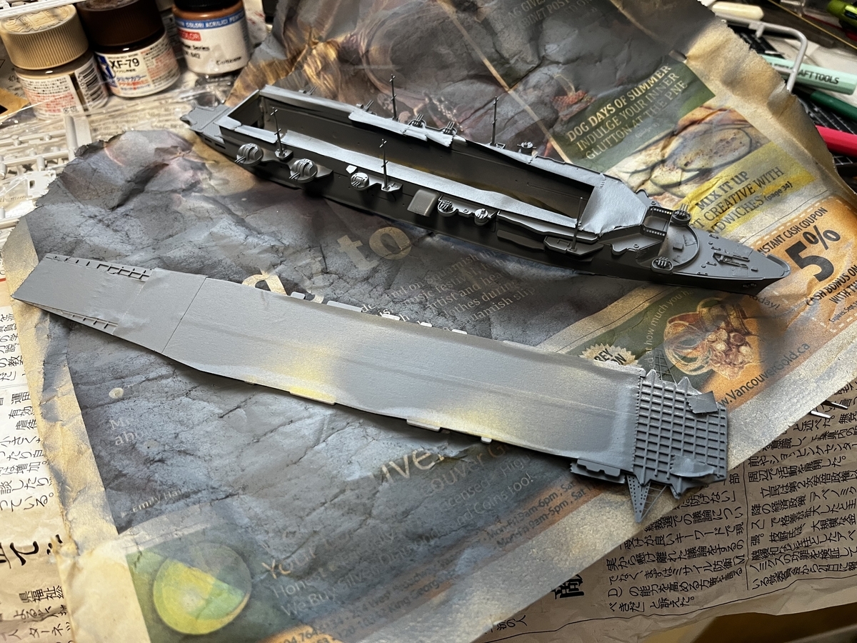
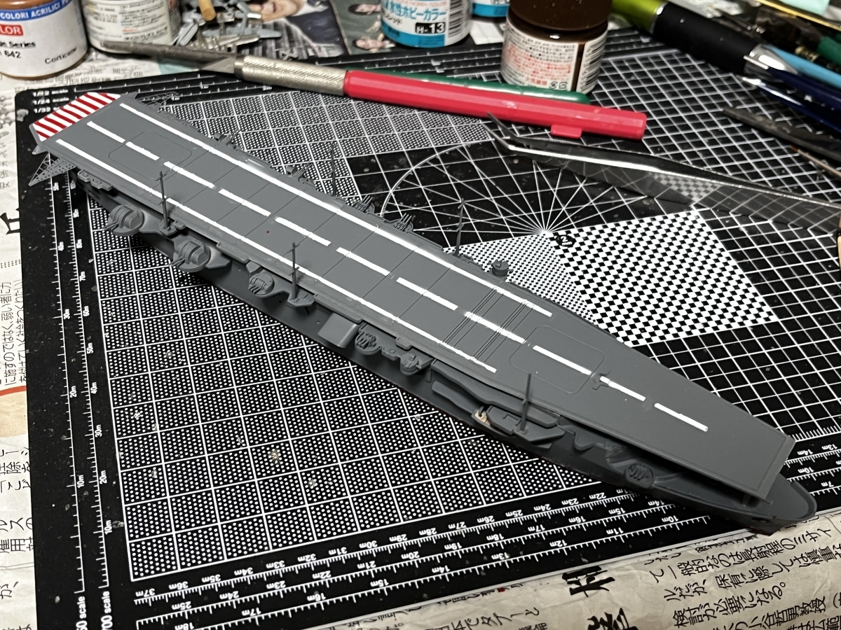
Assembling this ship kit came down to picking something to work on while rummaging through boxes of stored model kits. I believe my initial goal was to locate a model of the battleship Conte di Cavour. I did find that kit and so relieved myself of the temptation to put in a bid for a copy in an online auction.
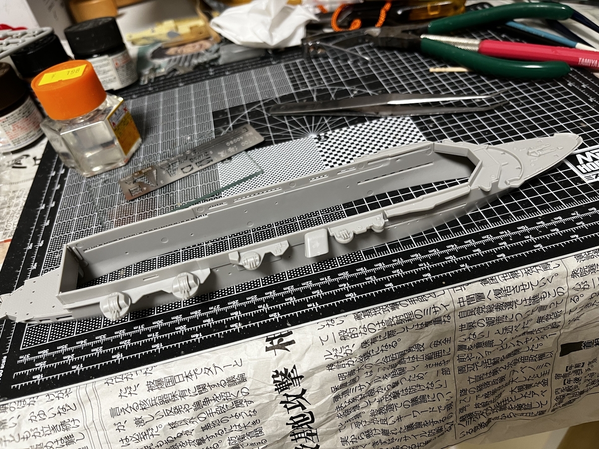
At the start of the build things were straight forward; I painted the lower hull plate hull red and glued together the two halves of the hull. Then I realized I was missing the kit's instruction sheet. The quick remedy was to take screenshots of its pages hosted online by a store I frequent (and where I occasionally make purchases). So in short time we got to this stage;
That was just the first day.
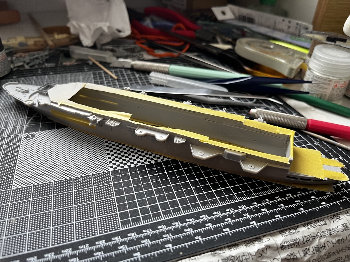
A couple of days later it looked like this;
Then work started on the flight deck;
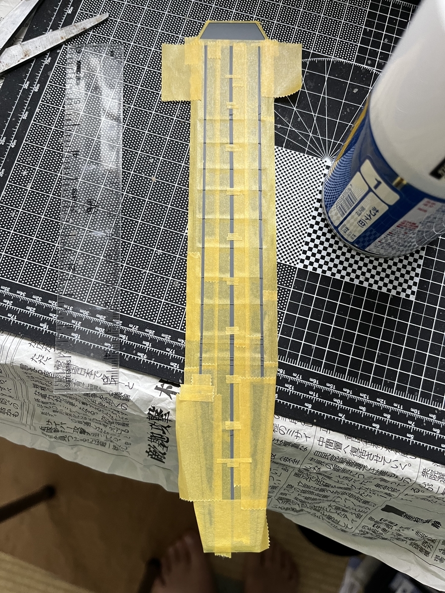
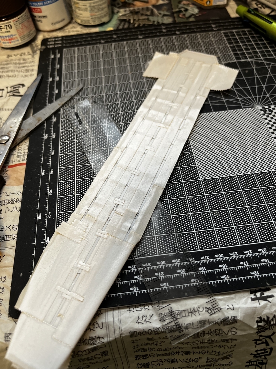
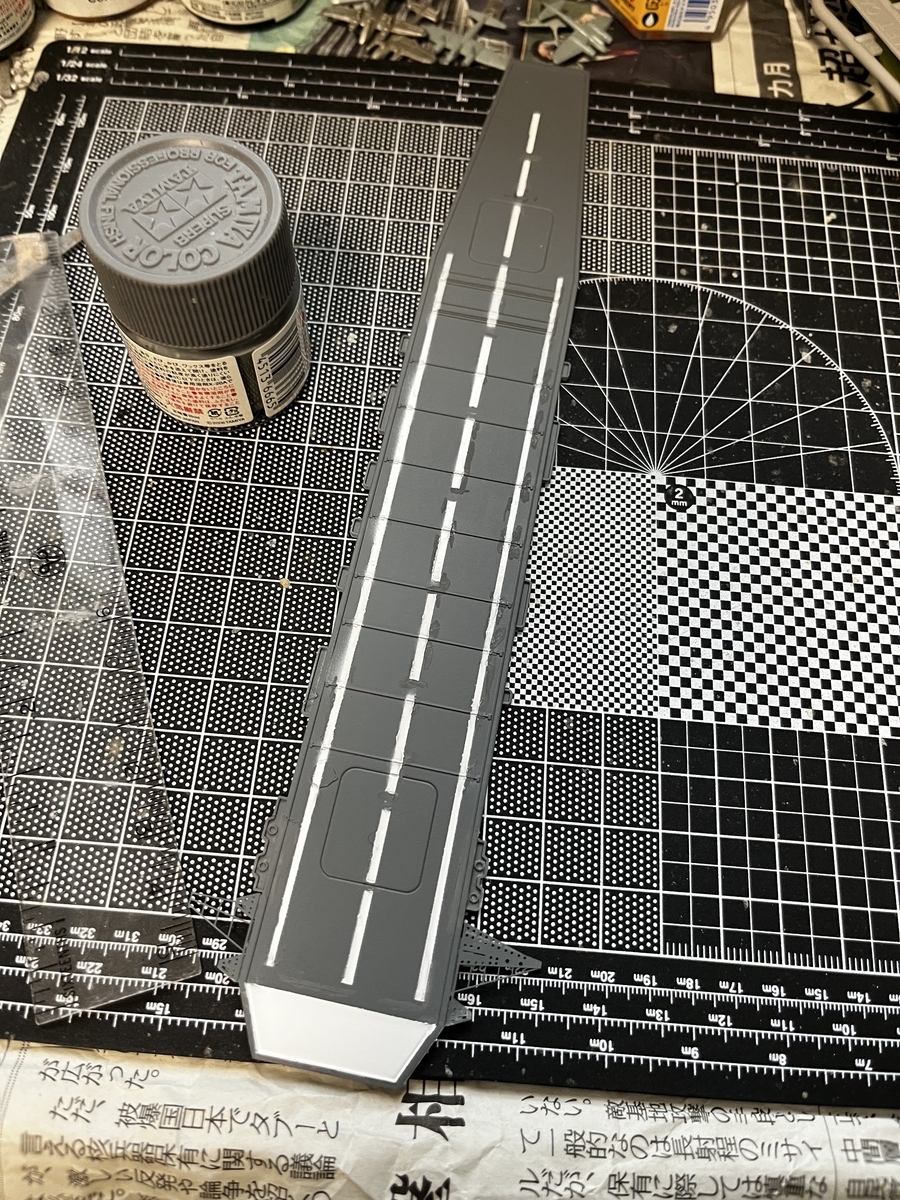
Whereupon I realized this kit has no decals. I checked online and yes it was sold that way. So my flight deck stripes had to be painted on. First, sprayed on the primer then base colour. Next masked off the parts that weren't going to be painted white. Then sprayed the thing with gloss white paint.
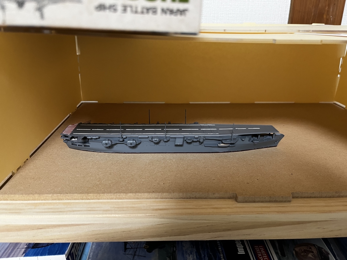
After that there was the finicky task off masking the stern round down to paint the red candy striping. Then the ship's boats, deck supports, and stern AA gun platform were glued in place. Finally the flight deck, which had warped a bit while drying in the hot summer sun, was glued onto the hull.
Voila! A model ship kit assembled in less than a fortnight. 😁
So back in early June I attempted to make a reservation at the Anshin Oyado capsule hotel in Akihabara. Unfortunately there was nothing available on the days I wanted. I then made a reservation at their Shinjuku hotel. When I checked the confirmation email I noticed I had only made a one night reservation instead of two nights. Rushed in and made a second reservation.
Got back to Japan today…went to the hotel in Shinjuku…system couldn’t find my reservation. Staff looked at my confirmation email…it was for the Shinbashi hotel. Oh gawd… 🙄
Staff at the Shinjuku hotel kindly phoned the Shinbashi hotel and cancelled my reservation. Also advised me they had vacancies but I could save a little if I made reservations online. Thus I made on the spot online reservations at the Shinjuku hotel while standing at their front desk…got a discount for having arrived by express train by doing that. 😅
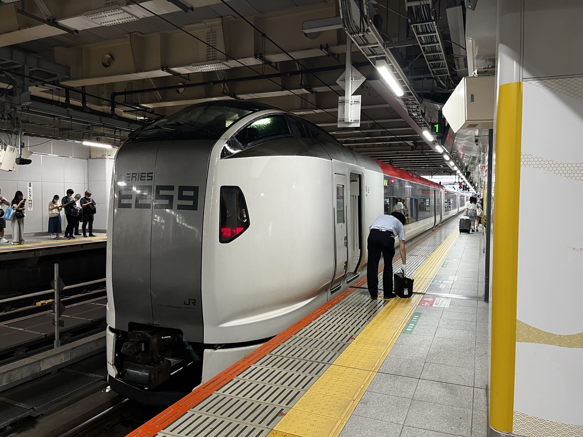
Speaking of express trains...today I took the NEX to Shinjuku instead of my usual Keio bus to Tokyo station. Last time I took the NEX I had a small problem; I dropped my ticket on board the train. Found out it was missing when I got to the exit turnstile. The staff there let me pass through after I correctly answered when asked what the fare from Narita to Shinjuku was... 😅
The livery of this train is different from the livery worn by NEX trains at the time of my missing ticket incident.
First...I had wanted the title of this entry to be "A Day Trip to Victoria Sidney". But, I can't get the strikethrough font to work in the title bar. So I went with what I guess is the next best thing.
Originally I intended to meet up with two people in Victoria, where neither person has any connection to the other. As luck would have it, one party offered to meet me in Vancouver. There, the challenge of setting up a suitable itinerary...resolved in a snap.
This time around I rose early from bed and drove down to the Ladner Exchange to catch a bus to take me to the Tsawwassen ferry terminal. In my previous trip there a few weeks ago I had stayed overnight at a friends' house and gone to and from Vancouver Island with them.
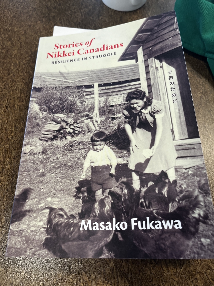
Once on board the ferry, I popped into the gift shop to check to see if they had a book I had spotted at the Duke Point ferry terminal shop...just when they had closed. That book was about the build up to and the resolution of a trade conflict between Spain and Great Britain. The thesis being that the resolution of the conflict eventually led to the shape of Canada as we know it today...or something along those lines. A scan of the books on sale didn't turn up that title but it turned up another one. Flipping through the pages I came across one where words "Beet farming"(sic) caught my eye. At that instance I decided to purchase the book. Why? Because beet farming was one of the stops in my grandfather's life.
I finished reading about half the book over two ferry rides. Having caught my mother's interest when I mentioned some interesting passages after returning home, I left the book with her. I'm going to let my sister know about the book so she can have a chance to read it. After that, I can pick up the book on my next trip home.
Anyway, after being greeted by my somewhat long lost friend (that's a story for another day), we proceeded to the BC Aviation Museum. That was a spot my MINI drive friend had made a quick stop at a couple of weeks ago. I had invited him to join me on this trip but he declined as he couldn't fit it into his schedule.
Now my Victoria friend asked me if I'm a plane nut but I don't think I've crossed the line into plane otakudom. Yes, I do have a significant interest in aircraft but it's not something I'm obsessed about. In fact, my visit to this museum is my first visit to a museum dedicated to aircraft and aviation.
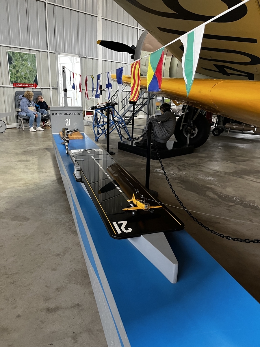
Among the usual collection of aircraft, interesting aircraft parts, replicas, models, displays about aviation history, restoration projects is a kids corner. As I passed through that section I caught side of the name HMCS Magnificent. Ah1 A ship. Now you have my interest. The exhibit displaying this name turned out to be a challenge to catch an arrestor wire on a carrier deck while controlling a descending model airplane.
Don't know if they used AT Harvards as deck landing trainer aircraft in real life...
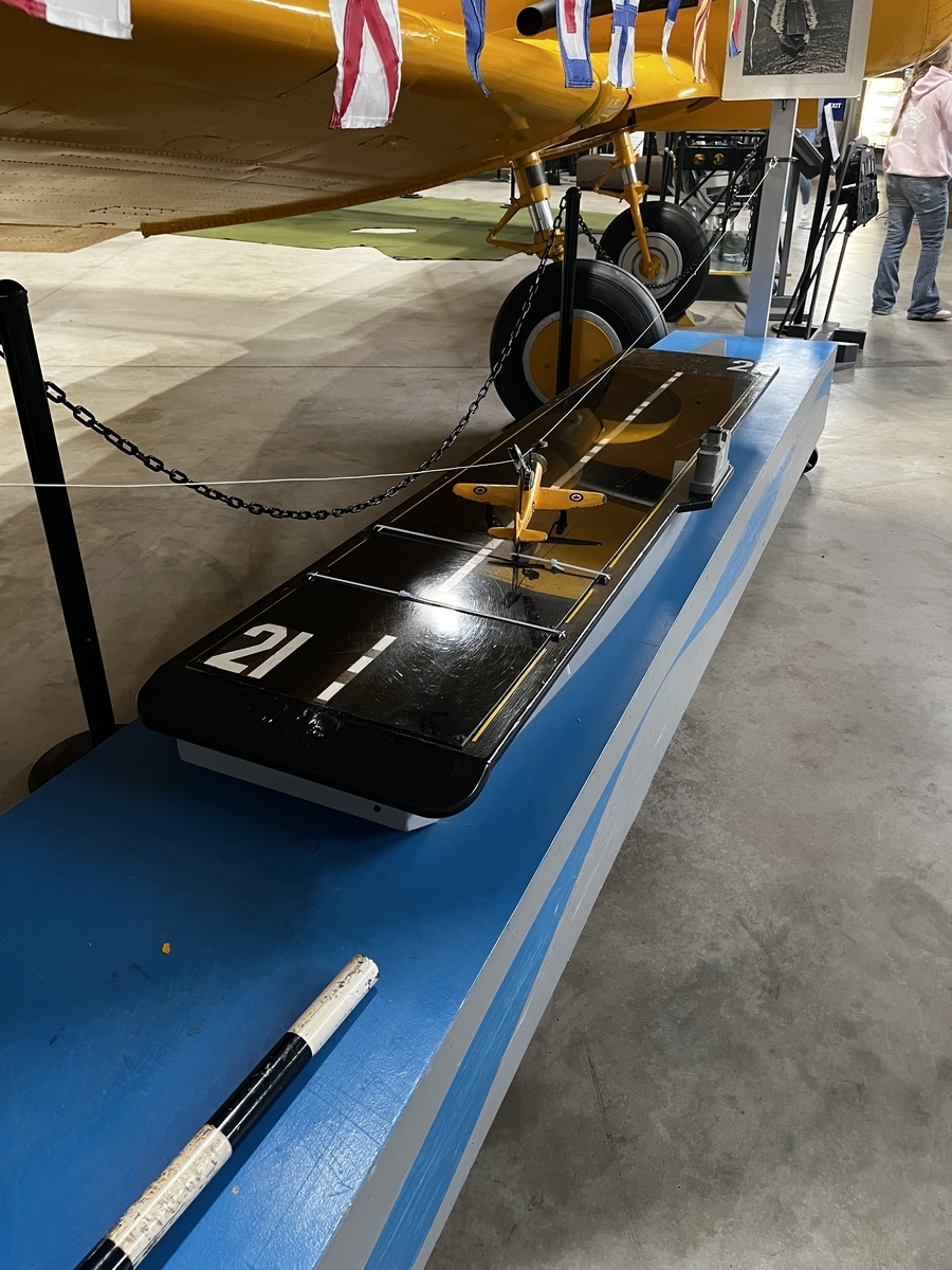
After examing the control stick and accompanying signage challenging visitors to catch the wire on the carrier below, I set up the airplane and let it drop down towards the ship....
In a split second I saw that I had successfully caught the second arresting wire. Having done that I set up the aircraft for a second run and passed the stick to a curious youngster whose mother didn't have a clue what this whole contraption is about.
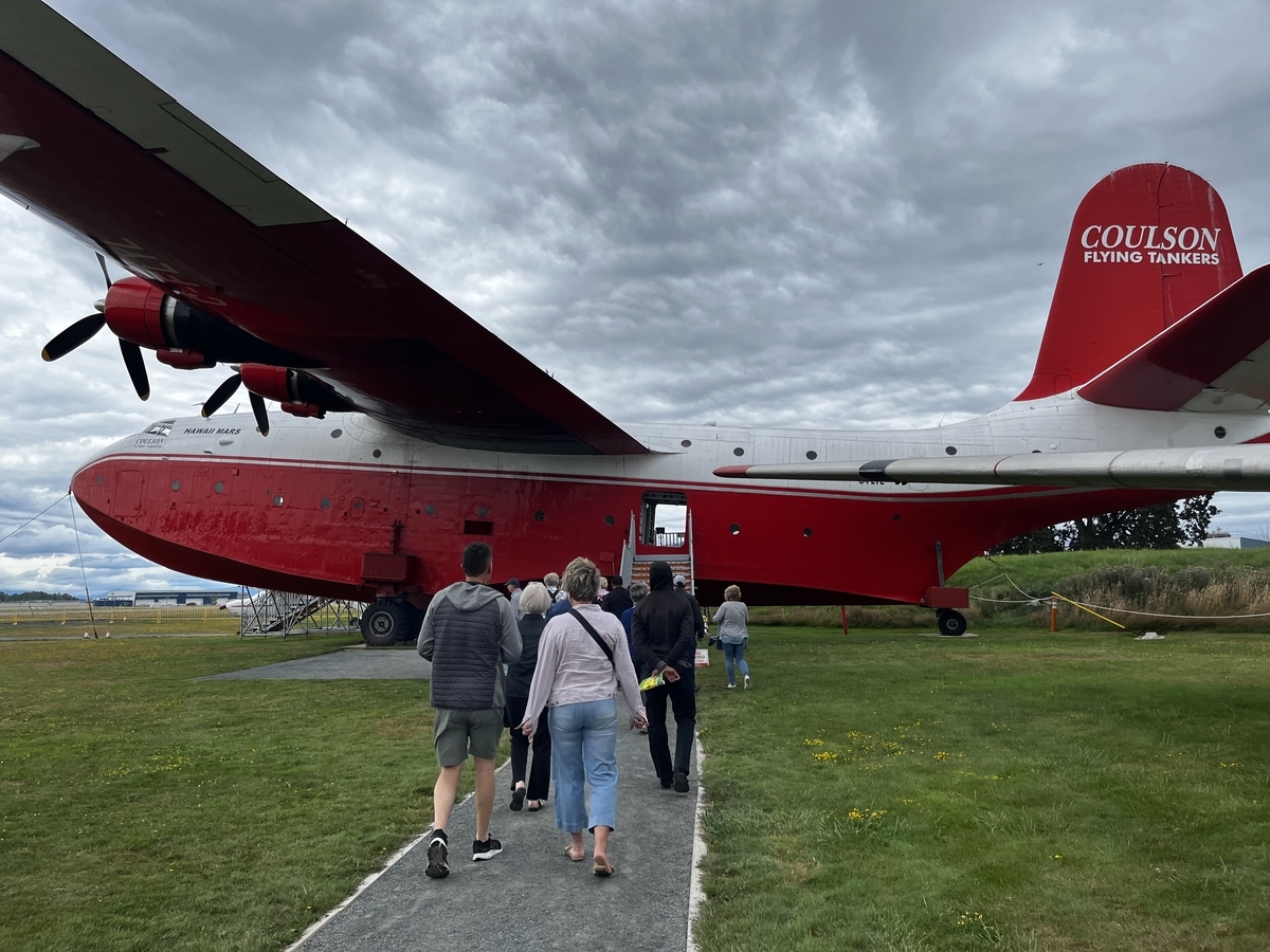
Now what my MINI friend had been interested was the Hawaii Mars water bomber parked outside the museum hangar. And that is a monster of an aircraft....
Because the plane sits on land which is technically part of the neighbouring airport, visitors must be accompanied by a guide when viewing it. Our guide was a former pilot who gave an informative tour of not only the Hawaii Mars but also an optional look at several nearby aircraft including one used by Phil Gaglardi, a colourful character who was once the BC minister of highways.
Now, the wingspan of the Hawaii Mars is almost 61m. The wingspan of an H8K flying boat is 38m. There is a single H8K on display in Japan and after seeing the the Hawaii Mars, I've now got the itch to make the journey to view the H8K. Oh, and from what I found on Wikipedia, the Hawaii Mars is actually Hawaii Mars II. The first one sank in Chesapeake Bay in August 1945.
When we left the museum I was a touch surprised that it was about 1:30pm. We had arrived at it at 11:00 or thereabouts. Seeing what time it was we headed into Sidney to get lunch.
The rest of the afternoon was spent strolling through the commercial district. There was a bit of gin tasting, a coffee break, stops at a few shops, and finally a drink to cap off the day....
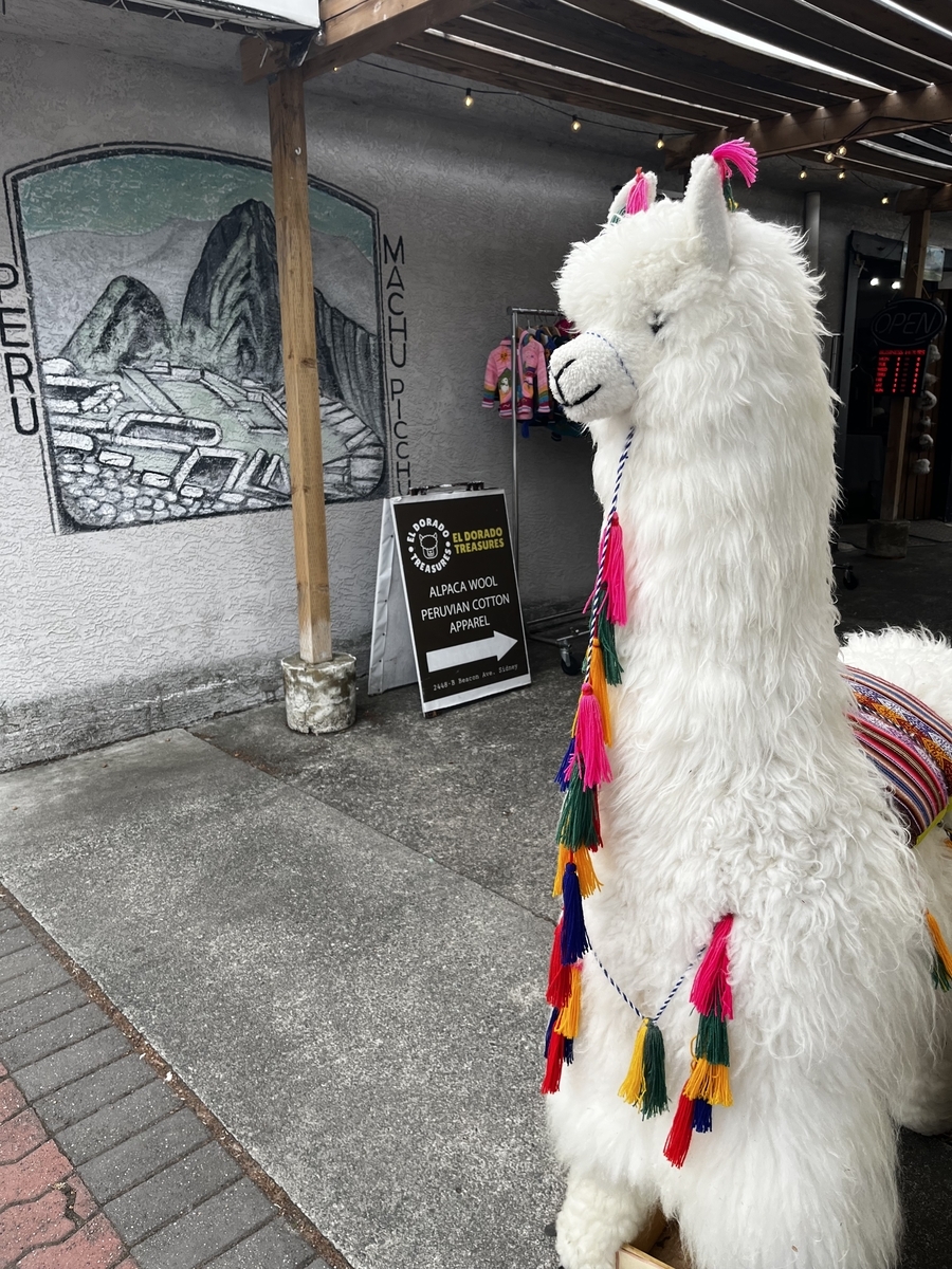
This llama was cute but it wasn't enought to get us into the shop.
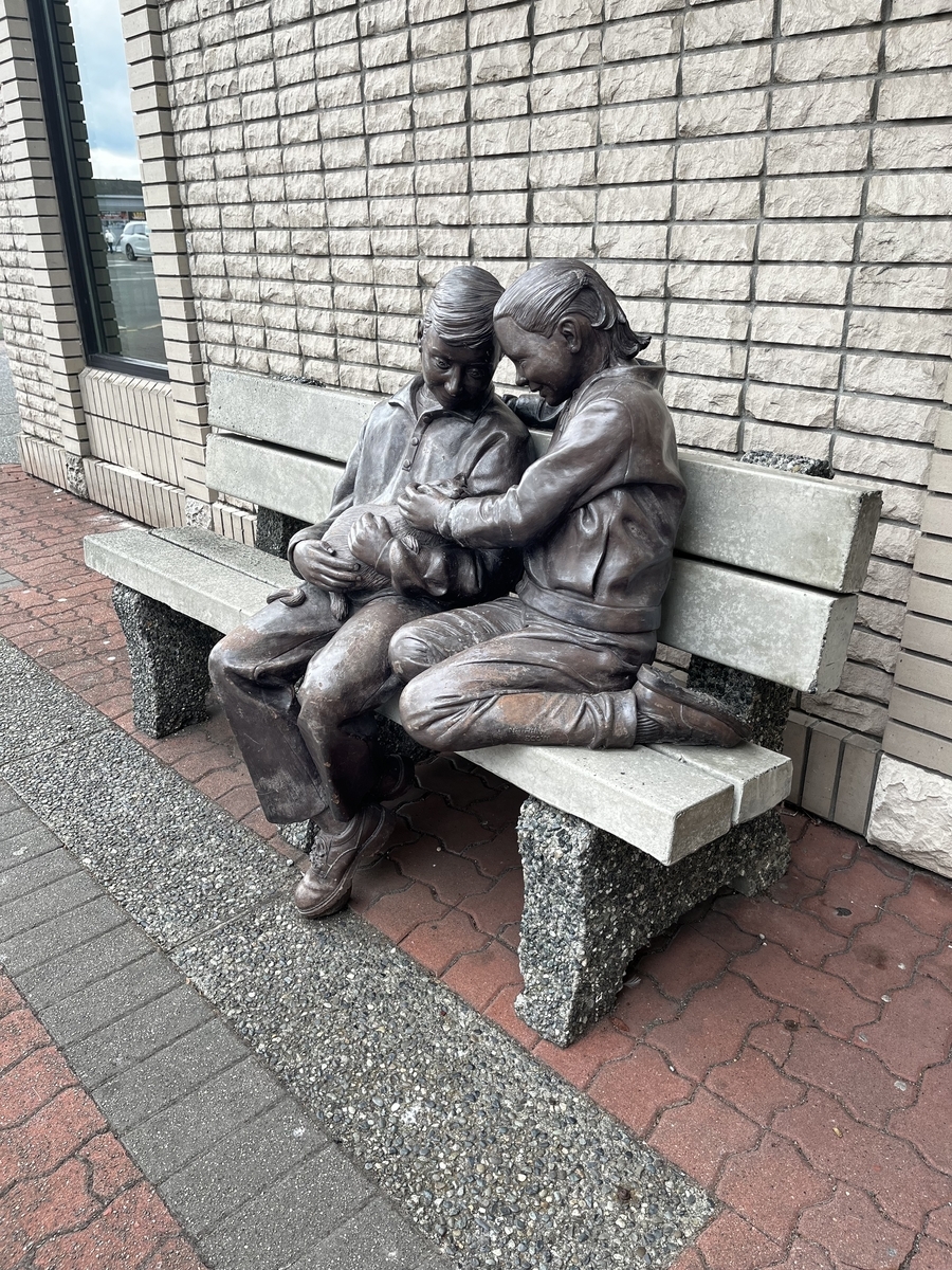
I noticed later that there were number of benches with sculptures on them. Funny thing is that I hadn't noticed them on my last visit.
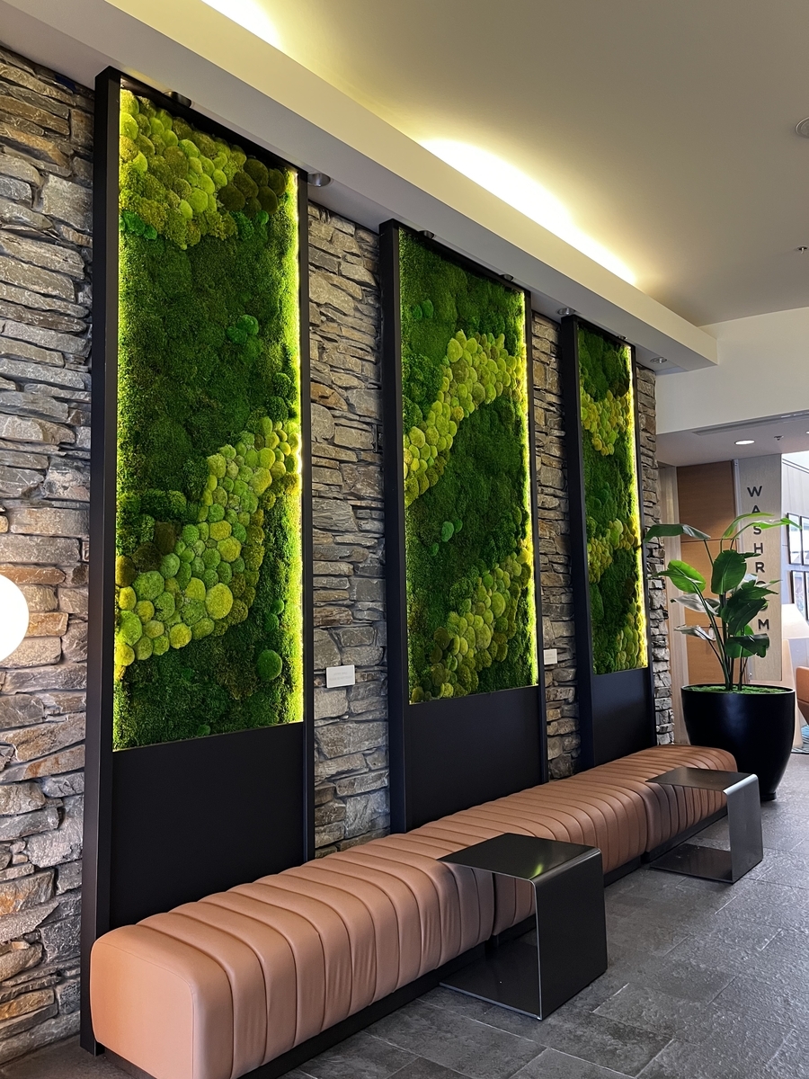
These are in a hotel on the waterfront. And the wall decorations are not artwork. They appear to living moss.
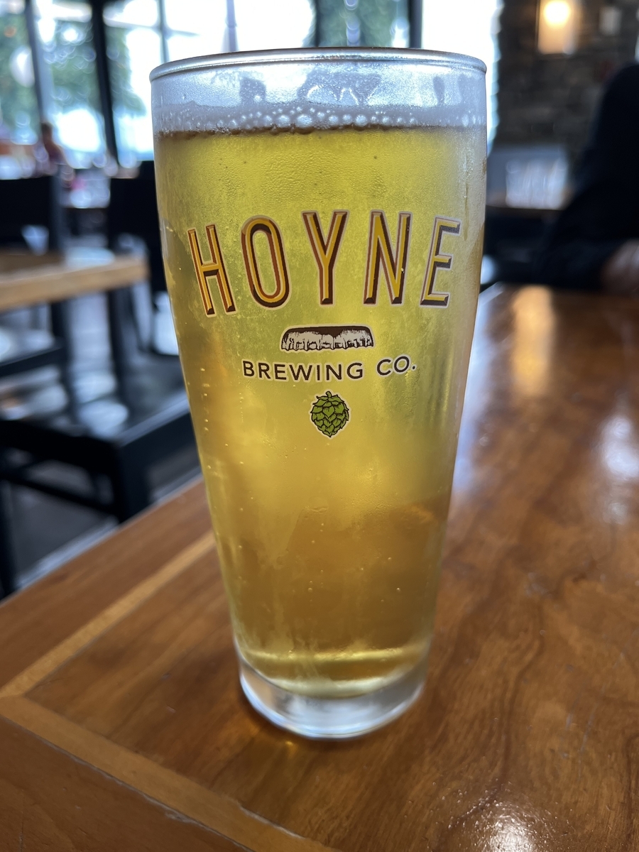
Another Hoyne beer to enjoy! Previous product I had was their dark ale when my MINI friend and I stopped off at the Mission Creak pub and restaurant.
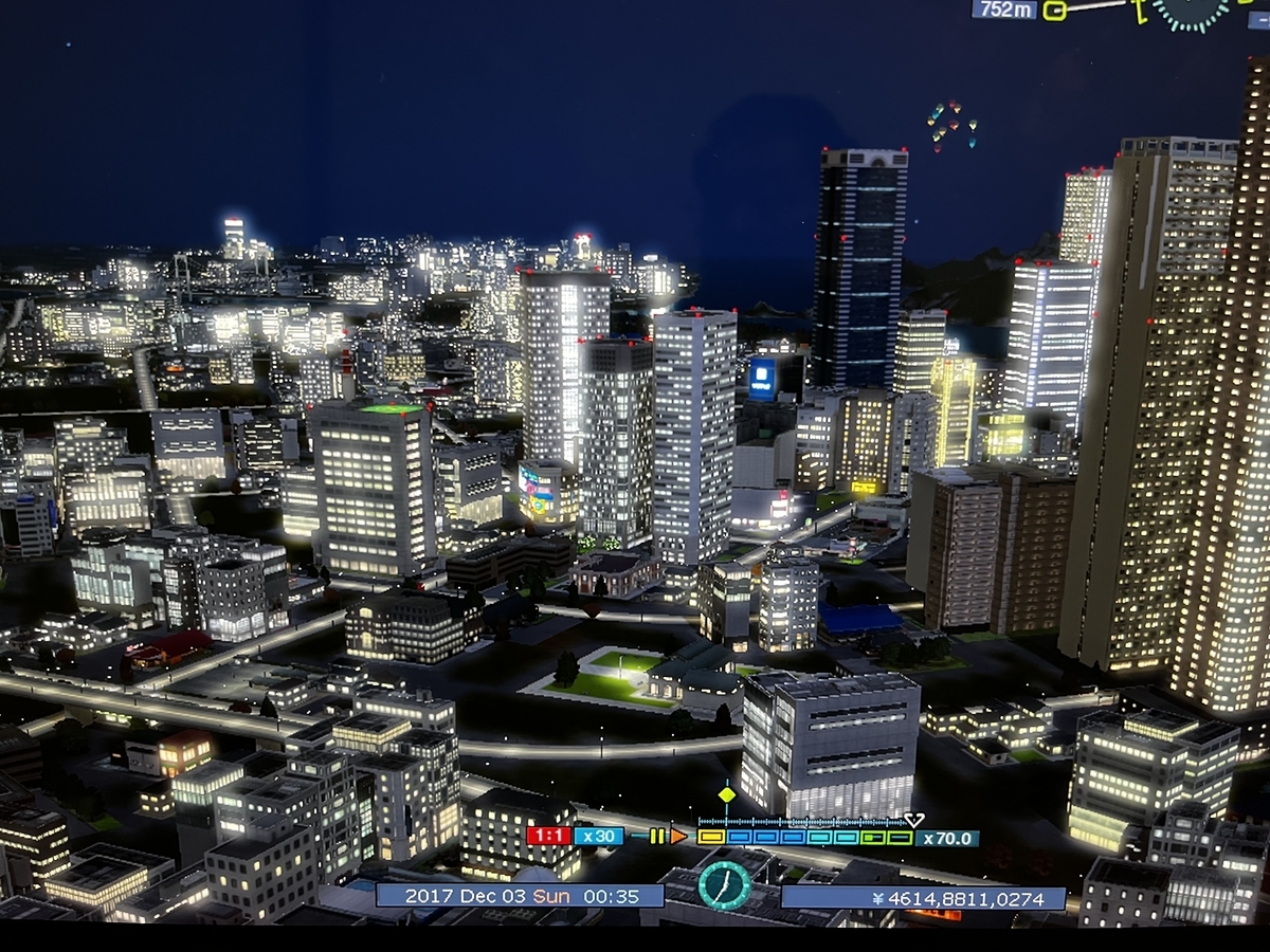
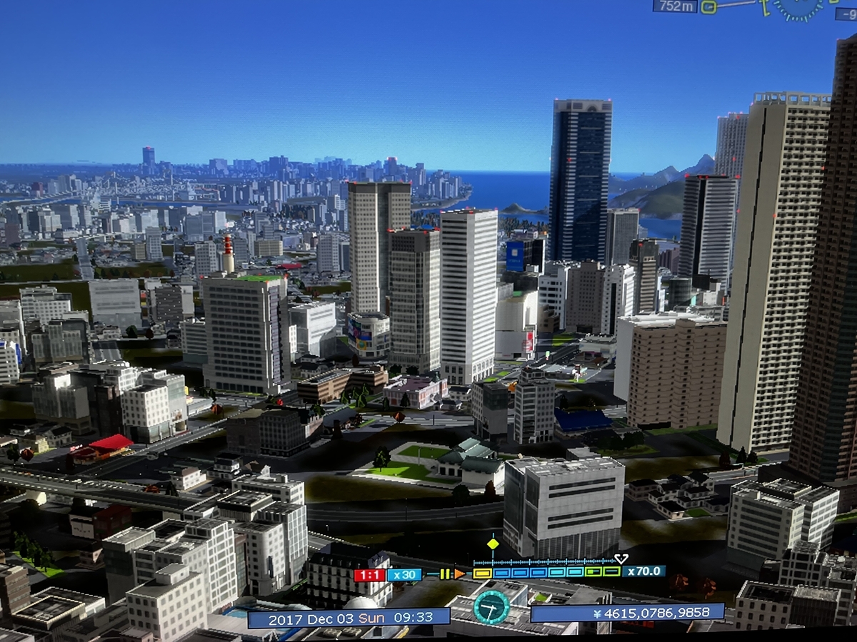
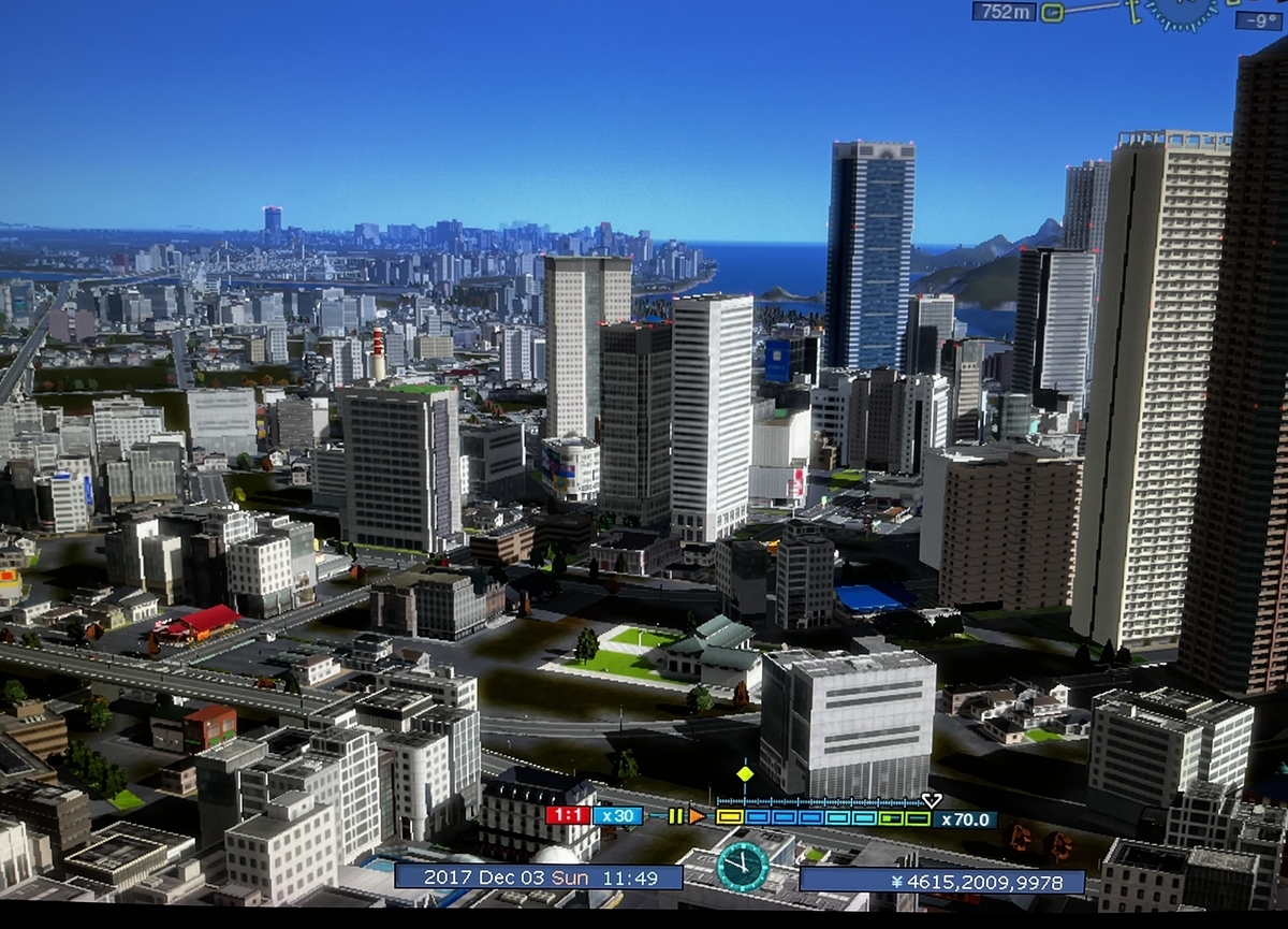
It's a nice view and a nice sequence of shots of the business and commercial district I described in my previous A-Train 9 post. We start from a bit past midnight and proceed to daylight then further on to noon....
Not quite yet the part of town that never sleeps...but probably getting close to it.
It's a beautiful morning with a view in the distance where a waterfront shrine in the style of Itsukijima Shrine will be placed.
Almost high noon....
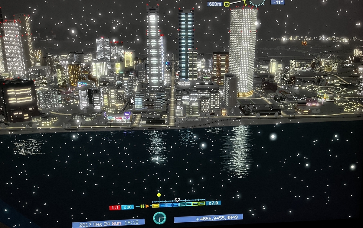
I like this night time shot of the district from the opposite side....
I found the reflection of the city lights on the surface of the sea to be a nice touch.
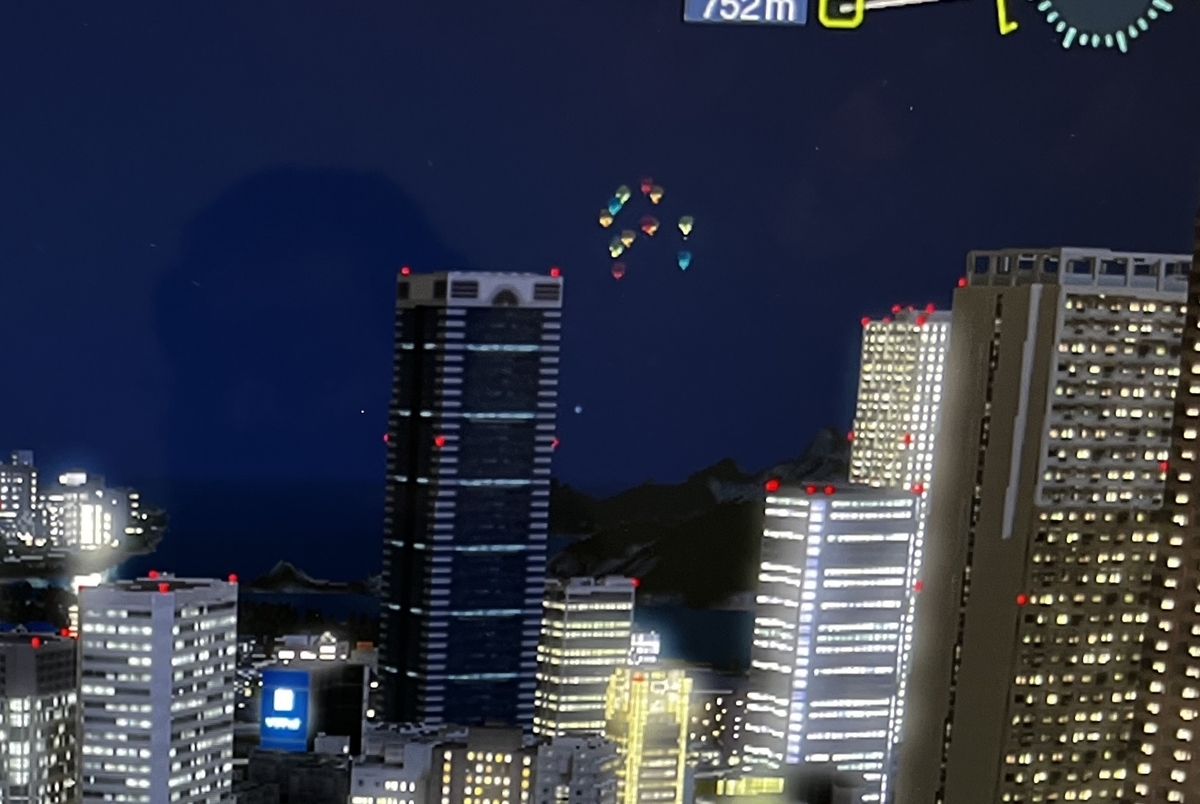
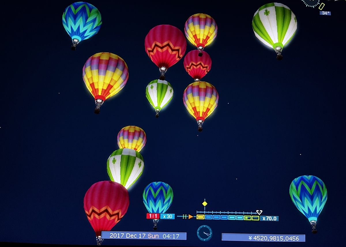
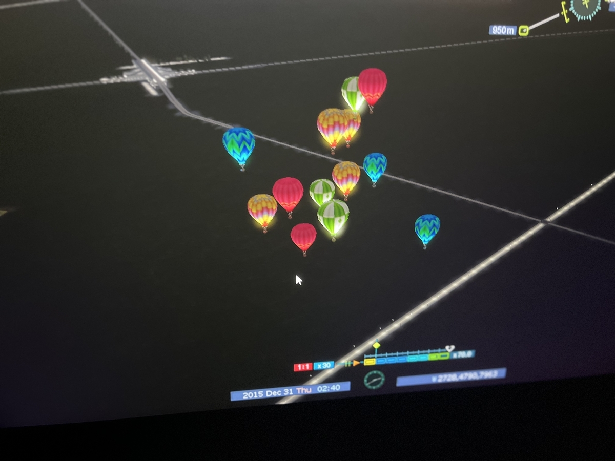
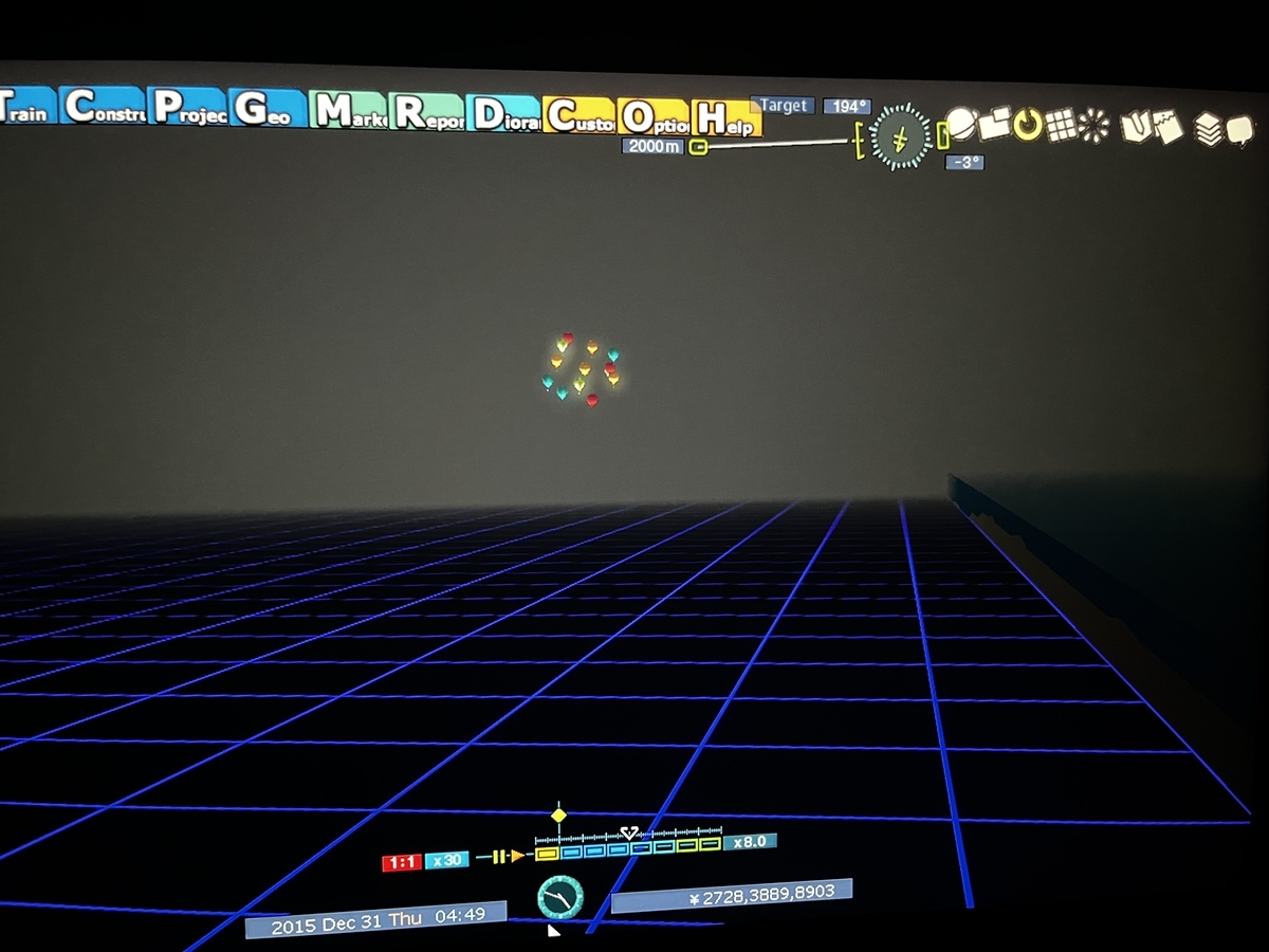
Now, at the time I took those screenshots, and actually even now, I haven't built an airport. So any flying objects, of which there are some in the above pictures, are just things floating by or passing through. For the things floating by we have these hot air balloons;
I have no idea why they are in the air around midnight....
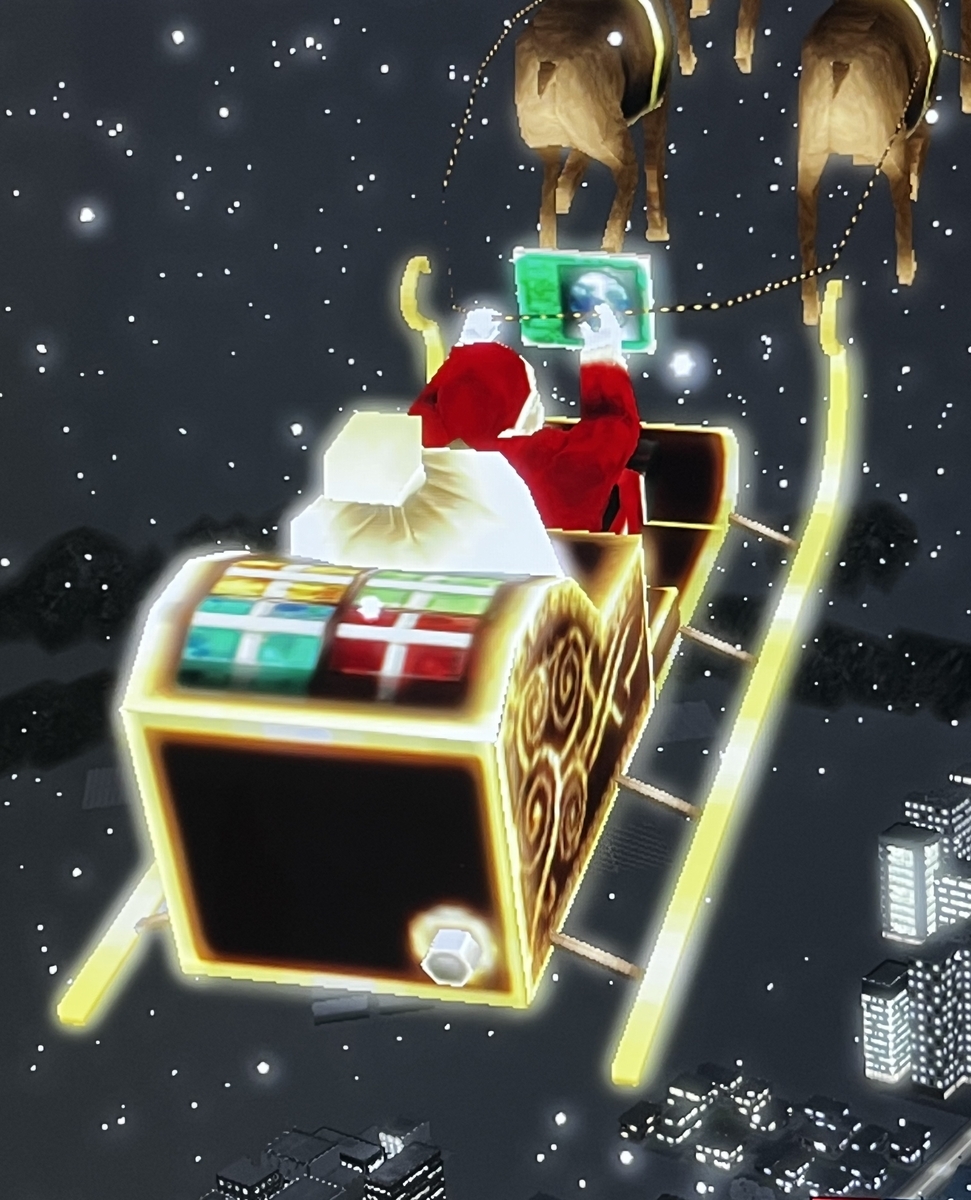
And here is our old buddy Santa Claus on board his sleigh pulled by flying reindeer
A closer look at Santa reveals that he appears to have modernized his sleigh with a digital navigation display;
Which way St. Nick?
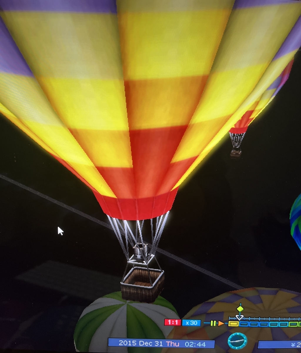
And then there are the balloons. A friend said it would be kind of neat if I could get a shot of them from below. After telling him that the task would be a bit difficult, I had a bit of luck and found them in the optimal position for which I could get a ground up look at them;
Though I did discover that the baskets were empty;
Nobody there....
I'm not sure if I've seen the hot air balloons in broad daylight. Perhaps not. Their general flight path takes them from the western mountains, across the northern arm of the river delta, and down towards the coast line and the big business and commercial district.
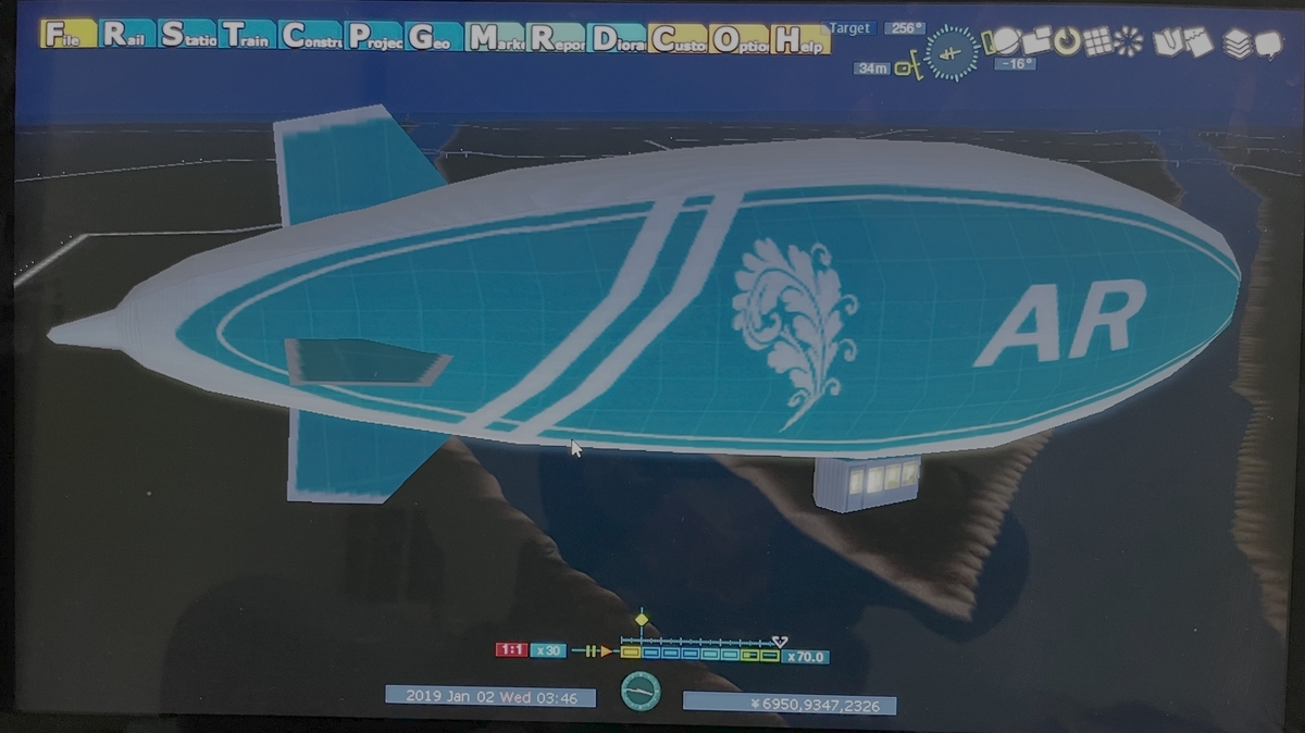
The last entry in the list of IFOs (Identified Flying Objects) is an airship;
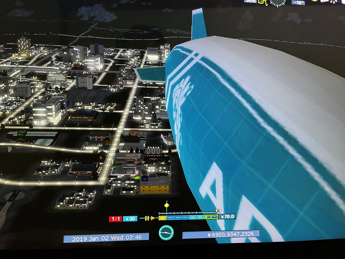
This craft also seems to frequently appear at night;
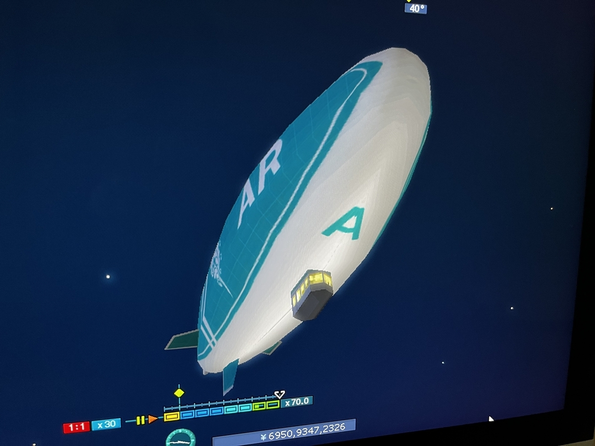
And just to be ahead of the game, I got a shot from below;
The queen of the air floating gracefully in the night sky
Studying this airship a bit, I realized it has no means of propulsion. And I don't recall if the game played the sound of a propeller when it passes overhead. Oh well, checking on that can wait until later.
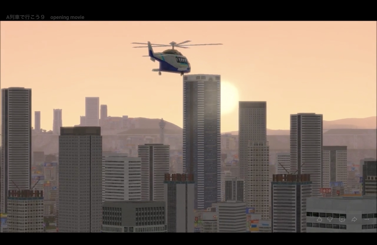
I'm guessing that one might see helicopters once an airport is constructed. If I recall correctly, one could see that kind of aircraft in the startup video of version 1 of the game. Okay, I checked and there is one;
But the caveat here is that the actual game contents may not match what is shown in the opening video.
So that is the end of this summary of what one can see overhead in A-Train 9.